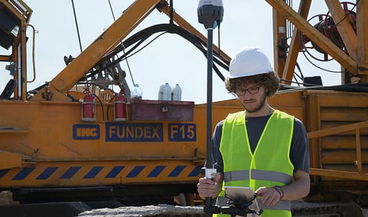
Survey
Development can't start until you know your boundaries. Core Engineering Group's experienced staff employs a combination of conventional surveying equipment, drone mapping, GPS capabilities and coordination with aerial service partners, to meet any survey challenge and deliver a high-quality, seamless final product.
- All levels of design survey
- Project control
- Right-of-way determination
- Boundary and topographical survey
- ALTA survey
- Construction staking